The Ye'kuanas of southern Venezuela have been creating a series of ethnocultural maps of fight for legal title to their ancestral lands. The map-making process involved several phases, beginning with an ethnocultural history narrated by one of the elders and assented to by a major gathering of Ye'kuanas. The creation of the maps and history also required the resolution of a deep and decades-old rift between the traditional Ye'kuana lifestyle and the competing Catholic and fundamentalist modernized ways. Remarkably enough, the map-making was funded by a grant from the Canadian government obtained through the Assembly of First Nations, the Canadian organization of indigenous peoples, who generously recognized their solidarity with their counterparts south of the Equator.
Fewer than four thousand Ye'kuanas are scatted in 30 villages along upstream branches of the Orinoco River in the Amazonas and Bolivar states of Venezuela. Amazonas State comprises roughly a fourth of Venezuelan territory and is the homeland of twelve other ethnic Indian groups as well as a growing Criollo population of blended culture and mixed descent.
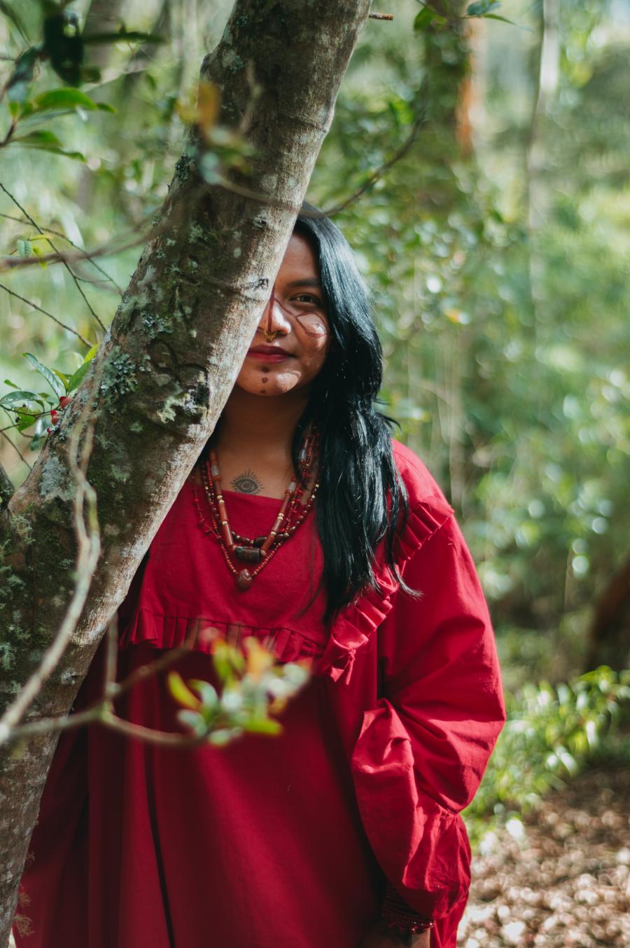
The Ye'kuanas are tropical forest dwellers and slash-and-burn horticulturists, living on produce from their gardens, fish and game, and - to a lesser extent - honey, wild fruits, nuts, insects, worms and frogs. Two centuries of intermittent contact and trade with European merchants, navigators and their Criollo descendants have wrought profound changes on the Ye'kuanas' diet, settlement pattern, housing construction, political cohesiveness, religion, and economy. Under acculturative pressure from missionaries (both Catholic and fundamentalist evangelical Christian), the Ye'kuanas have shifted to a more sedentary life, moving most of their villages from the heart of their ancestral lands to the downstream rivers that criss-cross those lands. These downstream villages include round multi-family houses with thatched roofs and mud walls, and rectangular nuclear family houses with tin roofs and cement floors. But the homakari - a traditional house with deep religious meaning - is rarely seem and less often built in present day Ye'kuana villages.
By the 1960s, missionary activity (supported and often financed by government agencies) had fractured Ye'kuana socio-political life and territory into three de facto political regions, two influenced by Catholic ideals of modernity and the third by evangelical Christianity. The painful consequences of externally-induced religious strife between these regions during the `60s, `70s and early `80s showed the Ye'kuanas that no outside program has the survival of their culture as a long-term goal.
During the late 1970s almost all Ye'kuana villages became involved in the land-titling program of Venezuela's National Institute for Agrarian Reform, which disillusioned the Ye'kuanas about outsiders just as the missionaries did. After twenty years, the provisional land titles granted to Ye'kuanas the provisional land titles granted to Ye'kuana villages have remained provisional, without any judicial or historical redressing of the issue of land rights. Along with the process of writing a book on Ye'kuana culture (described below), which induced deeper and more holistic reflections about the future of Ye'kuana society, these realizations paved the way for the self-demarcation of their ancestral lands.
EXPROPRIATION OF INDIAN LANDS
Political independence from Spain the 19th century brought with it the judicial expropriation of Indian lands south of the Orinoco by the new Venezuelan nation-state. It issued laws, decrees and regulations stating that all land not in private hands was the property of the new state and declaring those lands "wastelands" (tierras baldias).
The area that today is Amazonas State was abandoned by colonial officials and missionaries for almost a century after independence since those officials have fled the region to escape the violence of the wars of Independence. Left alone for almost one hundred years, the Indian peoples were able to resettle some of their ancestral lands, dorcibly abandoned during the Conquest and the Colonial period as a result of the Spanish policy of nucleated and multicultural mission posts. They were able to recover some of their culture and way of life, except those living in towns founded along the Orinoco with subjugated Indian labor. There the Indians had suffered a total loss of tribal and cultural independence. In those Criollo towns, they had no alternative but to remain a passive population under the Criollo towns, they had no alternative but to remain a passive population under the Criollo merchants who held both the economic and political power after independence.
Amazonas State was not physically connected to the rest of the country by road or any other accessible communication system until the 1960s when - as a result of the "Conquest of the South" program - a road was built connecting Bolivar State with Puerto Ayacycho (the capital of Amazonas) and the rest of the country. But Catholic missionaries had r-entered the region in 1936, following an international agreement between the Venezuelan government and the Holy See by which Venezuela granted jurisdiction over Indian lands and Indians themselves to the Catholic missionaries, giving them the mandate to civilize and integrate the Indians into Venezuelan society.
The third cycle of conquest (following Spanish colonization and the Rubber Boom exploitation) was in 1969, when the government launched its "Conquest of the South" program. As part of the program, the National Institute for Agrarian Reform implemented the Agrarian Reform Act of 1960 among the Indian populations south of the Orinoco. The goal of this policy was supposedly to help the Indians survive the "Conquest" of the South" by securing for them a fragment of their ancestral lands. But in fact it had devastating consequences for the Indians. It did not distinguish between them and peasants, and its consequence was the fragmentation of each ethnic territory. IN spite of the fact that some indigenous peoples were conscious of its disadvantages, many Indian villages agreed to the Land Grant Program in the 1970s and were allotted Provisional Titles of Possession. Twenty years passed without definitive titles of even a part of their ancestral lands. The many adverse events of the 1980s made some Amazonian Indian peoples realize that they could not continue to wait passively for government authorities to honor their promises.
Since the `70s the Ye'kuanas have begun to take active steps toward securing their land claims. In the `80s they were very active in the struggle for an inter-cultural bilingual education program, holding national assemblies to determine which aspects of their traditional knowledge should be included in the Ministry of Education's official textbooks. In the 1990s the Ye'kuana became impatient with the new inroads into their resources, including uncontrolled gold-mining and tourist activities. They also objected to official conservationist policies which have created protected areas like national parks and biosphere reserves on their ancestral lands without consulting the Ye'kuana.
All these factors - externally induced religious strife, official land-use policy and conservationist practices - together with the widely publicized results of the 1992 Earth Summit convinced the Ye'kuanas to resolve, once and for all, their claims to their ancestral lands.
THE PROJECT BECOMES A PROCESS
Beginning in February 1993, the Ye'kuana villages in the upper Orinoco held a series of assemblies on the best way to safeguard their ancestral lands. Those meetings served as a reminder of the legacy and mandate of Kuyujani, a cultural hero considered to be the Ye'kuanas' most remote ancestor, who launched a trip along the borders of what the Ye'kuanas have been told for centuries are their ancestral lands. At the beginning of time Kuyujani personally walked along those borders, explaining the meaning of each feature of the landscape, thus demarcating a territory that the Ye'kuanas were empowered to care for.
In the beginning, discussions in the 1993 meetings centered around the most effective way to coordinate the self-demarcation of the land entrusted to the Ye'kuana. From the outset, it was obvious that one of their first steps should be to write an ethnocultural version of their claims to the land. It was also obvious that they could no longer wait for any government measures to miraculously come down from above to redress history to miraculously come down from above to redress history and return their land titles. Thus their only option was to take the process of demarcation into their own hands.
In the second phase, writing the ethnocultural, document to support the historical claim was assigned to the elder Jose Felix Turon, who traveled to Caracas to draft what could be called "The Ethnocultural Basis of Ye'kuanas Land Claims." He was assisted in his exposition of Ye'kuana sacred history by Simeon Jimenez, who translated into Spanish and made the exegesis of Ye'kuana sacred history. An assembly in Culebra finally approved the document, and a meaningful reconciliation took place between the Ye'kuana's warring factions: the Traditionalists and Evangelicals. At this moving assembly, the Ye'kuanas recognized that after 30 years of religious strife, the basis of their identify is Ye'kuana culture and not an imported religion. Their land means physical and cultural survival for them, and that overrides any secondary interests.
The Ye'kuana then sought the assistance of Otro Futro, a Caracas-based NGO which has been working on indigenous land rights since 1992. In turn, the British Colombian LEO Project suggested that Otro Futuro and the Ye'kuana apply for funding to Canada's Assembly of First Nations (AFN). The AFN, interested in the networking possibilities for the demarcation methodology, received approval for an exploratory project. The proposal was submitted to the Environment and Development Support Program, a decentralized fund of the Canadian International Development Agency. Second phase funding was subsequently approved following the development of a full environmental initiative at a workshop in Culebras, Venezuela.
The AFN's Keith Conn, assisted by Peter Poole of LEO, traveled to Culebra in February 1994 to attend the third Ye'kuana assembly on self-demarcation. Representatives from 15 villages met to agree on the methodology to be followed. Strategic and specific features within their territory were targeted for demarcation and plotted into ethnocultural maps, with the form and shape of those demarcation determined. Six working teams were formed, each composed of sixteen women and sixteen men. Human and financial resources were analyzed as well as the tools and medicines required to carry out the most important task this society has faced in modern times.
The meeting resulted in a composite hand-drawn map showing core rivers of the Ye'kuana territory and its outer limits, including a series of 24x30m cleared circles with a footpath and further trails linking the 15 communities with the boundary. It was roughly estimated that the boundary is 450km long and encompasses one million hectares. In the next phase, a "technical map" will be derived from satellite imagery. Once it is complete the boundary will be entered onto this map, using GPS units to ensure acceptable accuracy.
In the meantime, Otro Futuro has been preparing a booklet which explains the meaning of self-demarcation for the Ye'kuana people and a video of the completed phases. The Ye'kuana are enthusiastically involved in a process which for them is a matter of survival for their culture. When finally accomplished, it is hoped it will serve as a stimulus and as a model to other Indian peoples of Amazonia and indigenous societies throughout the world.
For the future, the communities plan to compile an economic and cultural map showing traditional patterns of occupancy and land use. It will be used to explore new forms of sustainable resource use.
For the AFN, demarcation is urgently required for many indigenous communities in Canada and abroad to provide legal guarantees for their land rights. The Ye'kuana effort in a asserting territorial land rights is a living example of fulfilling the spirit and intent of the UN Draft and Declaration on the Rights of Indigenous Peoples, which states:
Indigenous Peoples have the collective and individual right not to be subjected to ethnocide and cultural genocide, including prevention of and redress for ... any action which has the aim or effect of dispossessing them of their lands, territories or resources.
Although other demarcation activities have happened elsewhere, each is unique. The important aspects of the Ye'kuana project include the community-based, community-paced approach with minor technical assistance from external agents. The assemblies demonstrated that the communities were driving the agenda. As one elder put it, "We have maps in our minds; we wish to place them on paper for the world to see."
Demarcation has a cumulative web of effect which includes the protection of natural resources. As important, it will protect and promote cultural diversity and foster community reunification and self-empowerment. Indigenous peoples have seen what has happened and they will not sit by and acquiesce. The world is on the brink of ecological destruction. Resources are shrinking and lands are being devastated by multinational corporations, propelled by the same materialistic drive that prompted the colonial powers to view indigenous peoples and their territories as commodities for exploitation. The dominant society urgently needs a radical paradigm shift to incorporate a global perspective in its consumptive patterns, so that they will not be at the expense of indigenous peoples, lands and resources.
Article copyright Cultural Survival, Inc.