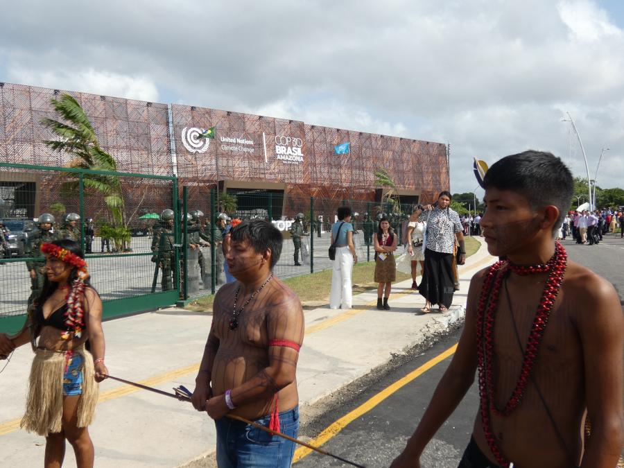
A picture, it is said, is worth a thousand words. In some cases it can be worth much more, particularly if the picture can aid in the survival of indigenous people and local communities. The extremely rapid pace of forest conversion in Amazonia threatens the land, resources, and consequently the survival, of its indigenous peoples through the loss of their forest resources. In regions with recent immigrant settlements, maintaining natural resources such as water, soil, timber and forests is critical for subsistence of local communities.
Timely distribution of facts about the current land clearing and use is essential for indigenous peoples and local communities to make informed decisions. Satellite photographs or images can provide the most up-to-date information available on land use changes in Amazonia. The purpose of this article is to describe how to acquire this information and to recount our initial experience of distributing images at the grassroots level.
Rondônia, a Brazilian state in southwestern Amazonia, provides an illustrative case. The influx of thousands of settlers each month, coupled with the rapid conversion of forests to pasture and agricultural land, has resulted in some of the highest rates of tropical forest conversion in the world. Government officials - and even more so local residents - are unable to determine when and where land use changes occur in the state. In just two years, thousand-hectare tracts of forests can be cleared and burned, making room for towns of several thousand inhabitants to be built and roads that extend tens of kilometers. Maps become outdated as soon as they are published.
Types of Satellite Photography
One way to keep abreast of this rapid forest conversion is through satellite photographs. Three types of satellite photography are germane for studying land use. The first, the NOAA weather satellite, takes images daily using an Advanced Very High Resolution Radiometer (AVHRR) and can resolve features larger than one kilometer. These satellites primarily serve to estimate large-scale deforestation and burning, as Woodwell et al. (1987) and Malingreau and Tucker (1988) have done for the state of Rondônia. For up-to-date information on areas of entire countries or states within Brazilian Amazonia, these satellites offer the only feasible means of observing land use change. Their coarse resolution, however, prohibits them from being used to study park boundaries, villages, small roads and farms.
The other two types of satellite photography, which are commercially available, do have such capability: Landsat and the new French satellite Systeme Probatoire d'Observation de la Terre, or SPOT. The Landsat satellites have been in continuous orbit since 1972, providing imagery of features as small as 80 meters from MultiSpectral Scanners (MSS) and 30 meters from Thematic Mappers (TM). SPOT, which obtains imagery of features as small as 10 meters, has been in orbit since 1986.
A tradeoff exists between the size of the area covered and the resolution of the satellite photography, as can be seen in Figure 2. Although SPOT can resolve the smallest features, a SPOT image covers only about one-ninth the area of a Land-sat image. Consequently, the image you use depends on the area and on the size of the features you want to examine.
In Amazonia cloud cover creates problems in using Landsat and SPOT images. Those images with less than 30 percent cloud cover are often acceptable; the ideal, however, is less than 10 percent, provided the remaining clouds don't obscure the site. Because overhead coverage repeats only every 16 to 28 days, depending on the satellite, better images are obtained during the drier part of the year when cloud cover diminishes. In Rondônia, for example, the best images are usually taken from June to October. Determining if suitable Landsat or SPOT imagery is available for specific regions is relatively inexpensive and simple.
Examples of Landsat Images
Figures 3 - 7 show how Landsat information can be used. (Their locations in Rondônia are outlined in Figure 1.) The two images in Figure 3 illustrate the expanding colonist frontier in central Rondônia along the central highway, BR-364, which runs southeast-northwest in the images. In the five years from 1976 to 1981 the feeder roads to the central highway were extended tens of kilometers outward from BR-364. This occurred before the main highway was paved in 1984, and before the World Bank provided a major loan in 1981. Although explosive growth in Rondônia is usually associated with the World Bank involvement in the Polonoroeste project, rapid land clearing had already begun in the 1970s.
The acceleration of this clearing can be seen in Figure 4, which dates from October 1986. BR-364 is in the northeast corner and connects the cities of JiParana and President Medici. Forest conversion has extended over tens of thousands of square kilometers during the preceding decade. Scientists in Brazil have suggested that this large-scale conversion significantly alters river flow and accelerates erosion in the region. The results of these changes would be diminished water supplies during the dry season and loss of soil fertility, both of which can contribute to impoverishment of the region's settlers and provide incentive for continued deforestation.
In the western portion of Figure 4 is the Pacaas Novos National Park and the Uru-Eu-Wau-Wau Indian reserve. The invasion of the Indian reserve depicted in Figure 5 has recently caused clashes between Uru-Eu-Wau-Wau Indians and settlers. We estimate that the two roads in Figure 6, seen in the image as the parallel strings of blocky forest clearings extending to the north, have extended some 25-30 km from Brazilian highway BR-429 and into the Uru-Eu-Wau-Wau Indian reserve.
Deforestation in areas once used by rubber tappers, or seringueiros, can be seen in Figure 7. This seringal, or rubber tapping area, is about 40 km south of Jaru in the central region of Rondônia. The surrounding region was developed for small farmers on 50-100-ha lots in a settlement project that originated in the early 1970s. The rubber tapping areas once contained the only large contiguous blocks of primary forest in the region; now, they are being developed as large cattle ranches. More than 1,000 ha of forest were cut and burned during one dry season in the Sao Francisco seringal. Very few people in the Jaru region or in the state forestry institute were aware of the extent of the deforestation at the Sao Francisco seringal prior to seeing these images in 1987 and 1988.
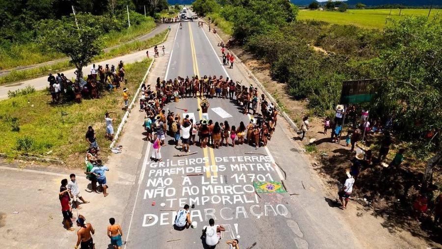
These rubber tapping areas, which as extractive reserves have the potential to supply latex and forest products in perpetuity, are being deforested at the fastest rates in the region. Local residents cite the desire of large landowners to establish control of the land before squatters invaded or before agrarian reform is strengthened by the new Brazilian constitution as factors contributing to deforestation.
Distributing Images at the Grassroots Level
Our experience with community health programs elsewhere in Brazil verifies that visual illustrations of land use help people to focus attention on specific problems of their region. Pictures enable all residents - including those who cannot read - to grasp quickly the physical dimensions of their community and the impact of activities outside their immediate surroundings. A problem exists, however, in getting the information to those who need it.
Our first steps in distributing in Rondônia the images described in this article have been to provide them to rural extension agents, state environmental agency officials and a local community organizer. One extension agent uses them to orient colleagues and to map land use in his township. The state officials employ them to communicate with other government groups in charge of protecting forested areas. The community organizer uses images as a way to encourage local farmers to join a community association. Much more work is needed in distributing this type of information at the grassroots level; the authors welcome suggestions for making this distribution more widespread and effective.
Satellite images offer timely information on - and in some cases the only visual evidence of - the dramatic changes in land use in Amazonia. Under the "open skies" policy these images are available to anyone, and searches to determine what images exist are free. These images can serve to enable indigenous peoples and local communities to influence the decisions that affect their well-being and survival.
How to Obtain Satellite Photographs
To determine the existence of suitable satellite photographs for a region costs nothing. General information about ordering can be obtained by telephone in the US at 1-800-367-2801 for Landsat MSS and TM data from EOSAT and at 1-703-620-2200 for SPOT or by writing or telexing INPE in Brazil.
Each organization will search their data bases free of charge using the four corner coordinates (by latitude and longitude) of the area, the specified time period, the quality of the data (how well the satellite's sensors were functioning that day - generally on a 1-10 scale) and the percentage of tolerable cloud cover. Try to avoid imagery that has 30 percent or more clouds; be aware that even if an image only has 10 percent cloud cover, those clouds could be precisely over the area of interest.
Once identified from the printout, the images can be ordered as small-scale photographs to show if clouds or haze obscure the area. The visible red part of the spectrum is typically used to determine forest and cleared areas: band 5 for MSS, band 3 for TM and the red band for SPOT.
For images from INPE, potential users can request "quick look" photographs for $3 each. For SPOT or Landsat images from EOSAT, the user will need to order larger (and thus more expensive - $50 and up) photographs. If the image is acceptable, then you can choose between black-and-white or color photographs with scales as large as 1:100,000 for Landsat MSS, TM and SPOT or you can obtain computer compatible tapes (CCTs) of the image. CCTs can be analyzed with an computer-based image processor and used to generate photographs or to analyze the digital data. Imagery data are also beginning to be distributed on floppy disks.
Much analysis can be done with satellite photographs using tracing paper to update maps of equal scale and to estimate areas deforested or in agricultural use. Image processing of CCTs can be used for more detailed work. In Brazil INPE sells image processors, called SITIMs, which are available in universities and research centers throughout the country. Work can be done in collaboration with these centers or with remote sensing centers in other countries. In addition, EOSAT, SPOT or INPE will provide the names of commercial organizations that can do photo-interpretation or computer analysis of the CCTs.
The cost of these images can range from $3 for 2-inch-square "quick looks" from INPE to a $700 (and up) acquisition fee for detailed SPOT Images. CCTs can cost from $600 for a single MSS band to $3,300 for a full TM image with seven bands (image processing costs would be additional). Both Landsat and SPOT imagery are available worldwide. For further details, contact:
EOSAT: 4300 Forbes Blvd., Lanham, MD 20706 USA, Telex: 277685 LSAT UR
SPOT: 1897 Preston Drive, Reston, VA 22091 USA, Telex: 4993073 SICORP
INPE: Rodovia President Dutra, KM 210, Cachoeira Paulista, SP 12.630
Brazil, Telex: 391125523 INPE BR
Article copyright Cultural Survival, Inc.